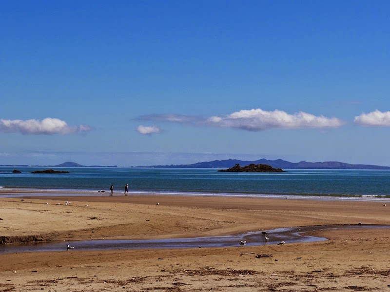
Showing posts with label Northland. Show all posts

Sunday, 13 April 2014

Northland: Boats and Things

New Zealand has one of the highest boat owning per capita ratios in the world.  I know that because I read it on Pauline's boat-bottoms post a couple of days ago and even my memory stretches that far back.  When we were doing our latest Northland safari Pauline decide that we would go and explore a bay on the other side of the hill from Russell about 5 minutes away by car.  It turned out to be fi=ull of surprises... and boats:

 The traditional gaff-rigged schooner R Tucker Thompson operated by a trust of the same name which has as its mission: Learning for Life through the Sea

 I had photographed this vessel in Paihia back in 2010 and it was only when I got the photos home that I realised that it was following a pod of dolphins.

Not everyone is in it for the speed

 Although I do wonder how people manage this and travel very long distances in rough seas doing it.

This took me completely by surprise
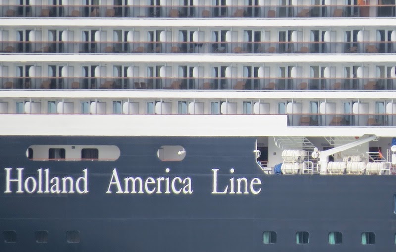
and when I used the long focus lens  have to say that it didn't appeal to me at all.

This little craft on the other hand spends its life up and down the Northland coast checking moorings.

Whilst this one is out for the sheer exhilleration of the speed (I'm sure that on the News tonight it said that some of these jet boats can travel in calm water up to 80kph!)

Wednesday, 9 April 2014

Northland: Russell

The first permanent European settlement and sea port in New Zealand was in the Bay of Islands.  I last went there by passenger ferry from Paihia in February 2010 on a very cold and damp day.  (I cannot believe that it was so long ago!).  The place was originally known as Kororāreka and developed as a result of the trade between visiting European and American ships in the early 1800s and the indigenous Māori.  It soon earned a very bad reputation as a community without laws and full of prostitution and became known as the "Hell Hole of the Pacific" despite the translation of its name being "How sweet is the penguin", (korora meaning blue penguin and reka meaning sweet).

After the signing of the Treaty of Waitangi in 1840 the Governor of New Zealand, General William Hobson decided that the capital of the new colony would be inappropriate at such a lawless place and decided it would be at Okiato 7 kilometres away from Kororāreka and that it would be called Russell after Lord John Russell the British Prime Minister known for his liberal views.  In the event the colonial powers in Australia (from whence New Zealand was in effect governed in those days) decided that the new capital would be in Auckland.  So Kororāreka became called Russell instead.

Looking at it now it seems impossible to believe that it was once (only 150 years ago) such a hell hole and den of iniquity.  It seems now to be the very epitome of middle class middle New Zealand full of middle class tourists.  Perhaps appearances are deceptive.

I posted more pictures and information about Russell back in October 2010 than I think I've posted about any place that size (population 810).  It's interesting to compare these taken then on a bleak, cold rainy day with these:


Monday, 7 April 2014

Northland: The Beaches of Doubtless Bay

My annual visit to Pauline and Northland seems a long time past.  In fact it started two weeks ago tomorrow and ended the following Saturday.  It's just over a week ago but it seems like a decade.  Pauline has already posted on many of our visits one her blog The Paddock.   Some of my photos will be of the same areas because I'm not only posting for my readers (many of whom read Pauline's blog too) but also for my blog in it's role as my diary.  

Pampas Grass (imported) or Toetoe (indigenous) at the time I didn't know how to distinguish the two.  It is supposed to grow to a maximum of 3m high.  I would say that's at least 6m even allowing for the fact that Pauline's well below its base.
 A beautiful area at the northern end of Waikato Bay
 and again but taken from half way down the bay

 Out in a 'tinnie' doing what Kiwi's do

 Waikato Bay beach looking in a southerly direction

Tokerau Beach looking in a southerly direction across Doubtless Bay to Cable Bay and  down to  Mangonui probably about 16 k away as a theoretical crow would fly across the bay.

and looking back to Whatuwhiwhi (pron Fatufifi) where we had just spent the night

 Tiny Parakerake Bay within Doubtless Bay at Whatuwhiwhi

Parakerake Bay at Whatuwhiwhi looking down over Doubtless Bay to Monganui

Taipa Bay looking north over Doubtless Bay to Whatuwhiwhi

 Taipa Bay looking north over Doubtless Bay to Whatuwhiwhi

 Taipa Bay Beach

Going for a walk

Thursday, 25 April 2013

Thankful Thursday

I have 3 days and 15 hours and 44 minutes until my departure back to Scotland.  

That is a very long time if one has toothache.  If one has a life to pack up into The Cupboard as well as live each day to the full then it is ein Augenblick. 

Today I was thankful for the moments spent just relaxing at Ninety Mile Beach in Northland with Pauline.  It set me up for the rest of my stay here.  I have saved two of my (and, I think, Pauline's) favourites from amongst the photos I took when we were there.


 For the peace and tranquility of those moments I am truly thankful.

Monday, 22 April 2013

A Few Memories of Northland

The crossroads of two forest logging roads.  A solution by someone with a sense of humour methinks.


Many Northland roads are still metalled (gravel) and the MX5 couldn't negotiate a lot of the potholes and ruts and large stones.
and some are quite hairy
A last view of the Uppity Downity Mountains my last and very gloomy morning
The occasional (then) much needed shower rushing by in the distance
I just loved this house near Langs Beach past Waipu.

Wednesday, 3 April 2013

Landing the Catches

Just a few kilometres from the bach where we were staying was the little settlement of Pukenui where there is a jetty and a small harbour.  One afternoon we arrived in time to see several boats unloading their catches: a fishing boat and a mussel harvester.


Tuesday, 2 April 2013

Ninety Mile Beach

It is not possible to live in the North Island of New Zealand without wanting to see and perhaps drive (it is a public road officially) the Ninety Mile Beach which is actually 103km (64 miles) long and runs from Ahipara in the South almost to the top of the North Island on the West Coast.

The reason it has its name is because horses travelled thirty miles a day and it took three days to walk the beach. What had been overlooked was that horses walked more slowly on sand than on land.

I have seen long beaches.  I have seen big beaches. I have seen beautiful beaches. Some of those were more beautiful in my eyes.  Nothing however prepared me for the sheer awesomeness of the Ninety Mile Beach. 

Here's a few reasons why

Panorama looking West from top of pa at Hukatere
Looking South from Hukatere
Looking North from Hukatere
Out to sea
Looking North: the narrowness of the Island can be seen (ownership of photo unknown - readily available on the Internet)